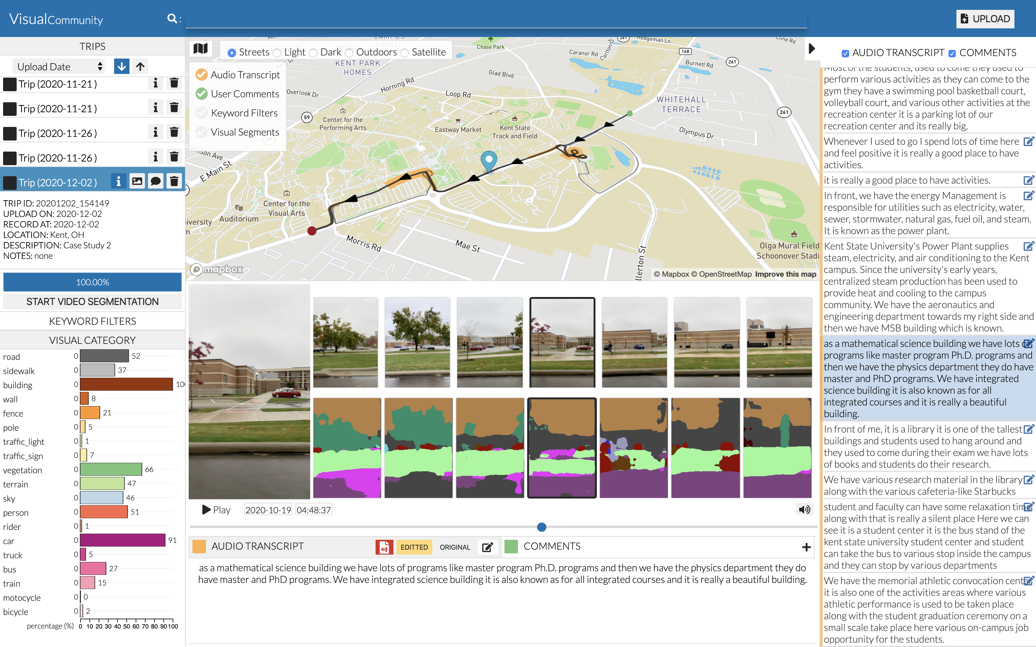

VisualCommunity software is designed for the study of a community where people live, work and interact. It is part of the GeoVisuals Project. Knowledge can be gained from spatially coded data including streetview videos, photos, and audio narratives that accompany these data. Such information can provide temporal data that captures fine scale changes, and provides context to help explain process and guide intervention.
VisualCommunity provides a cross-platform visual analytics (VA) tool on desktop and laptop computers. VisualCommunity allows users to upload visual and audio data collected in their community trips. The geo-encoded multimedia data can be conveniently captured by our GeoVideo APP on iOS or Android smart phones. AI-based tools are provided which automatically extract semantic segments from video frames, and transcribe audio data into textual narrations. These information is integrated together and managed in a multimedia spatial database. Users can perform interactive data editing and exploration with intuitive visualization tools for the analysis of video, audio, image, and semantic information.
Please click to download and extract the software package. The click on VisualCommunity.exe (WINDOWS) or click on VisualCommunity (MAC OSX) for installation.
You are welcome to share your questions and comments by clicking feedback. You can also contact the development team by sending an email to geovisuals.project@gmail.com.